Summer Hiking Map
Description
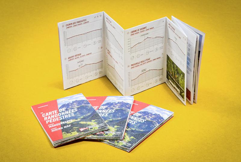
Région Dents du Midi’s easy-to-use hiking map showcases 30 of our favourite itineraries. Each route suggestion includes a topographic profile with distance, elevation gain, points of interest, and tons of other useful information to help you choose your next hike. This clever map goes hand-in-hand with the official 1: 25'000 map, which covers the area between Lake Geneva and the Dents du Midi.