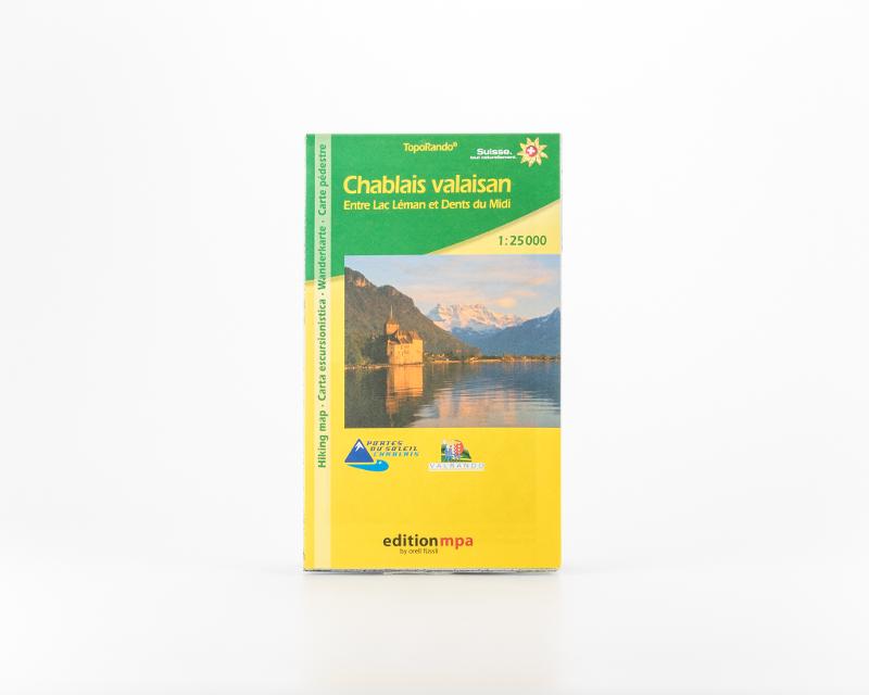
Chablais Valaisan Hiking Map 1 :25000
Description
This two-sided hiking map covers the Illiez valley and the border area with France on one side and the Rhone Valley and the southeastern shore of Lake Geneva on the other. It contains the Dents du Midi Tour in its entirety and most of the Dents Blanches hiking tour. Hiking trails show approximate walking times in minutes. Ideal for long hikes and connoisseurs